In short
- Requires a steep 10-minute detour from the main trail.
- Sits near the maximum elevation of 4,900 meters (16,076 feet).
- Offers unobstructed views of the Ausangate glacier.
In this article
While most visitors focus on the three colored ridges, the Palccoyo stone forest offers a dramatic change in scenery. This geological formation sits just above the main trail. It allows you to photograph the colored peaks and the surrounding Andean glaciers from a single high vantage point.
What is the Palccoyo stone forest?
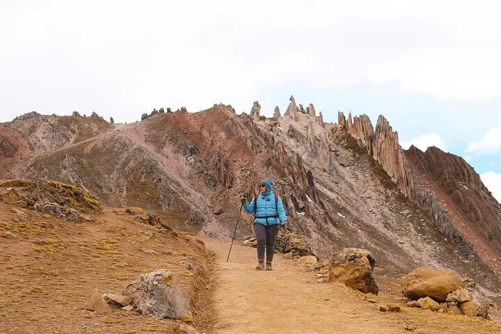
The Bosque de Piedras is a natural geological formation made of tall, jagged rock pillars.
These eroded rock spires tower over the colored valleys below. They contrast sharply with the smooth, mineral-striped ridges of the nearby rainbow mountains. It is the highest accessible point on the standard Palccoyo trail.
How long is the hike to the stone forest?
Reaching the rock spires requires a 10-minute detour from the main trail.
The path diverges near the end of the valley walk. This section is the steepest part of the entire Palccoyo trek. You will need roughly 45 minutes of total time to hike up, explore the main spire cluster, and return to the main path.
Is the stone forest trail difficult?
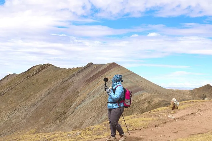
The detour is short but challenging due to the steep incline and high altitude.
You will hike at nearly 4,900 meters (16,076 feet) above sea level. The ground around the main spire cluster is rocky and uneven. Wear broken-in hiking boots with reliable grip and pace yourself to manage the thin air.
What are the best photo spots in the stone forest?
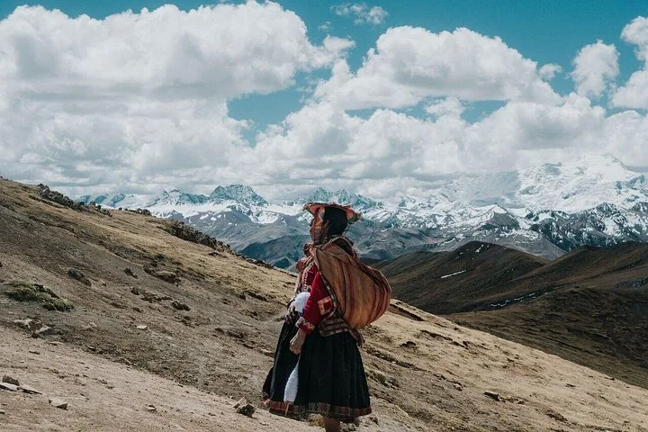
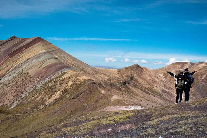
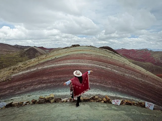
The area offers wide-angle views of the three rainbow peaks and the Ausangate glacier.
Walk to the specific Ausangate glacier lookout to frame the snow-capped peak between the rock spires. On clear days, the contrast between the red valleys below and the white glacier is sharp. The main spire cluster also allows you to photograph all three rainbow mountains together.
Do I need extra gear for this section?
You do not need specialized climbing gear, but trekking poles help with the steep incline.
- Footwear: Trail shoes or hiking boots are necessary for the uneven ground.
- Wind protection: The exposed peak is windy and cold; wear a windproof jacket.
- Camera: Bring extra power banks, as freezing temperatures drain batteries quickly.
How does it fit into the Palccoyo tour itinerary?
Guides usually include this detour after you view the rainbow ridges.
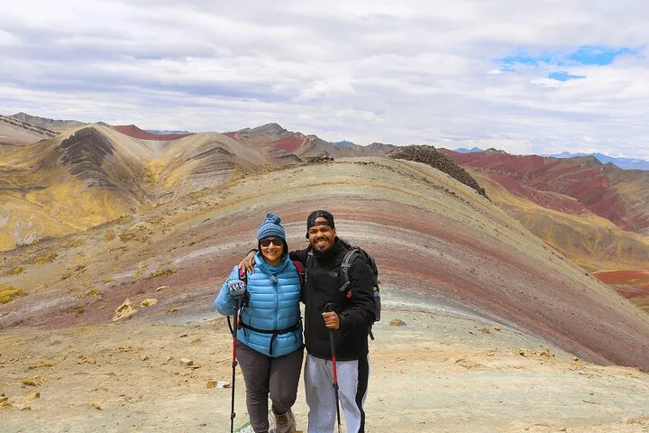
You will pass the first and second rainbow viewpoints on the flat path. When you reach the diverging trail, your guide will give you the option to climb to the rock spires. Since licensed guides are strictly required to visit Palccoyo, they will manage your time on the mountain.
Questions travellers ask
Can I climb on the rocks in the stone forest?
You should walk carefully among the jagged spires, as the ground is uneven. Avoid climbing the fragile rock formations to prevent injury and protect the site.
Is the stone forest higher than the rainbow mountains?
Yes, the stone forest sits at the highest vantage point of the hike, reaching roughly 4,900 meters (16,076 feet) in elevation.
Will my drone work at the stone forest?
Drones are restricted at Palccoyo. You may need advance permission or to pay additional fees to the local community to fly them over the rock formations.